Carlo Coleman · 8 September 2026
Local Initiatives Deploy Light Sensors to Guide Reforestation in the Black Forest
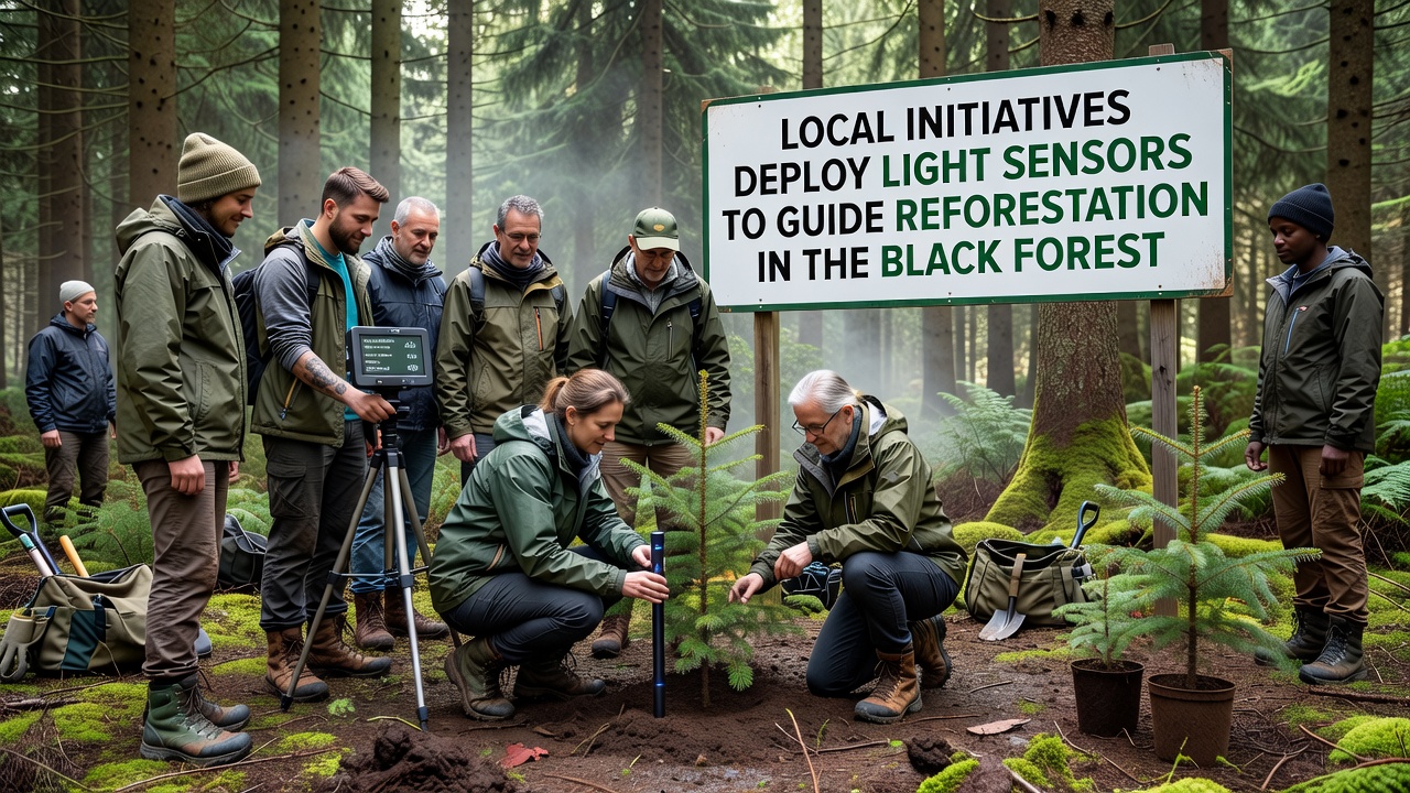
Communities around the Black Forest have started placing networks of light sensors across damaged woodland areas, and these devices collect data on sunlight penetration through remaining tree canopies to direct planting decisions. Local forestry teams work with regional authorities to position the sensors at various heights and locations, gathering readings that show how much light reaches the forest floor in different seasons. This approach helps match tree species to specific light conditions because certain saplings require filtered shade while others need direct exposure to establish strong growth.
Background on Black Forest Reforestation Efforts
The Black Forest region in southwestern Germany has faced repeated challenges from storms, bark beetle outbreaks, and prolonged dry spells that have reduced tree cover in many stands. Officials at the state level have tracked these losses through annual surveys, and community groups have responded by organizing planting campaigns that cover hundreds of hectares each year. Sensor deployment began as a pilot in smaller districts before expanding, with teams noting that traditional planting methods often led to higher seedling mortality when light conditions were misjudged. Data from the sensors now informs site selection so that foresters can avoid placing shade-intolerant species in overly dark gaps or sun-loving varieties in spots that stay dim most of the day.
One project coordinated by several villages near Freiburg installed over 200 sensors in 2024, and the readings revealed consistent patterns of light availability that guided the choice of beech, fir, and oak seedlings for different microsites. Those involved in the work report that the technology integrates with existing mapping tools, allowing crews to overlay light data onto terrain models before any digging starts. Similar setups have appeared in other parts of the forest, where volunteers help maintain the equipment while professional foresters interpret the output.
How Light Sensors Support Planting Decisions
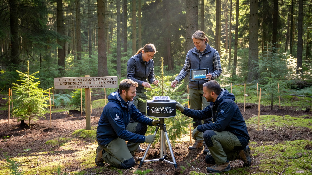
Each sensor unit records photosynthetically active radiation at regular intervals, transmitting the information wirelessly to central databases maintained by local environmental offices. Technicians calibrate the devices to account for seasonal changes in leaf cover and weather variations, which ensures the measurements reflect actual growing conditions rather than temporary fluctuations. Foresters then analyze the datasets to identify zones with high, medium, or low light transmission, matching those profiles to species requirements listed in regional silviculture guidelines. This method reduces the need for repeated field visits because the continuous records provide a clearer picture than single-day observations alone.
Technology and Deployment Details
Most sensors operate on solar-recharged batteries and use standard wireless protocols to send data every few hours, and maintenance crews visit sites quarterly to check connections and replace any units affected by weather or wildlife. The hardware comes from suppliers that specialize in environmental monitoring, and the software platforms allow users to generate heat maps that highlight suitable planting corridors. In several documented cases, teams adjusted their original plans after reviewing sensor output, shifting from uniform row planting to clustered arrangements that follow natural light gradients across slopes and clearings. Observers note that this targeted strategy has coincided with improved early survival rates in monitored plots compared with nearby control areas that relied on older survey methods.
Recent Developments and Data Collection
By mid-2025 several municipalities had pooled resources to expand the sensor network, and the combined dataset now covers more than 1,500 hectares across the northern and central sections of the forest. Analysis of the readings shows distinct differences between north-facing and south-facing slopes, with the latter exhibiting greater light variability due to shifting sun angles throughout the day. Groups managing the projects have shared protocols with neighboring districts, and training sessions have helped standardize how data gets interpreted so that results remain comparable across different administrative boundaries. According to figures from the German Federal Ministry for the Environment, Nature Conservation, Nuclear Safety and Consumer Protection, coordinated sensor use has supported planting on roughly 800 hectares in the past two seasons.
Researchers from nearby universities have contributed by running parallel studies that validate sensor accuracy against manual light measurements taken with handheld meters. Those comparisons confirm that automated readings track closely with traditional techniques while providing far more frequent updates. In one instance a team discovered that certain windthrow gaps allowed unexpectedly high light levels during spring before full canopy development, prompting a change in species mix for that season's plantings. The findings appear in technical reports that local initiatives use to refine future phases of the work.
Expansion Plans Through September 2026
Project coordinators have outlined steps to add another 300 sensors by September 2026, focusing on areas recently cleared by salvage logging operations. The expanded coverage will allow finer-scale mapping of light conditions in newly opened patches, and planners expect the additional data to support decisions on mixing conifers with broadleaf species in ways that maintain long-term canopy structure. Funding for the next stage comes from a combination of state grants and contributions from forest owner associations, and training programs are underway to prepare additional volunteers for equipment checks. A separate pilot will test sensors capable of measuring both light and soil moisture simultaneously, which could further improve matching of planting stock to site conditions.
International exchanges have also begun, with groups from Canada sharing experiences on similar sensor networks used in boreal forest recovery projects. Those discussions have highlighted common challenges such as equipment durability in harsh weather and the importance of open data standards that let different organizations combine datasets. Participants expect these collaborations to produce joint guidelines that could apply to other European mountain forests facing comparable regeneration issues.
Conclusion
Light sensor networks continue to shape reforestation practices across the Black Forest as more communities adopt the technology and refine their methods based on accumulated readings. The approach links real-time environmental data directly to operational decisions, and ongoing expansions through 2026 will test its effectiveness at larger scales. Continued coordination among local groups, research institutions, and government agencies supports the steady collection of information that guides species selection and site preparation in damaged stands.