Amir Walter · 6 October 2026
LiDAR Scans Reveal How Micro-Light Gradients Shape Underground Fungal Highways in Dutch Dune Woodlands
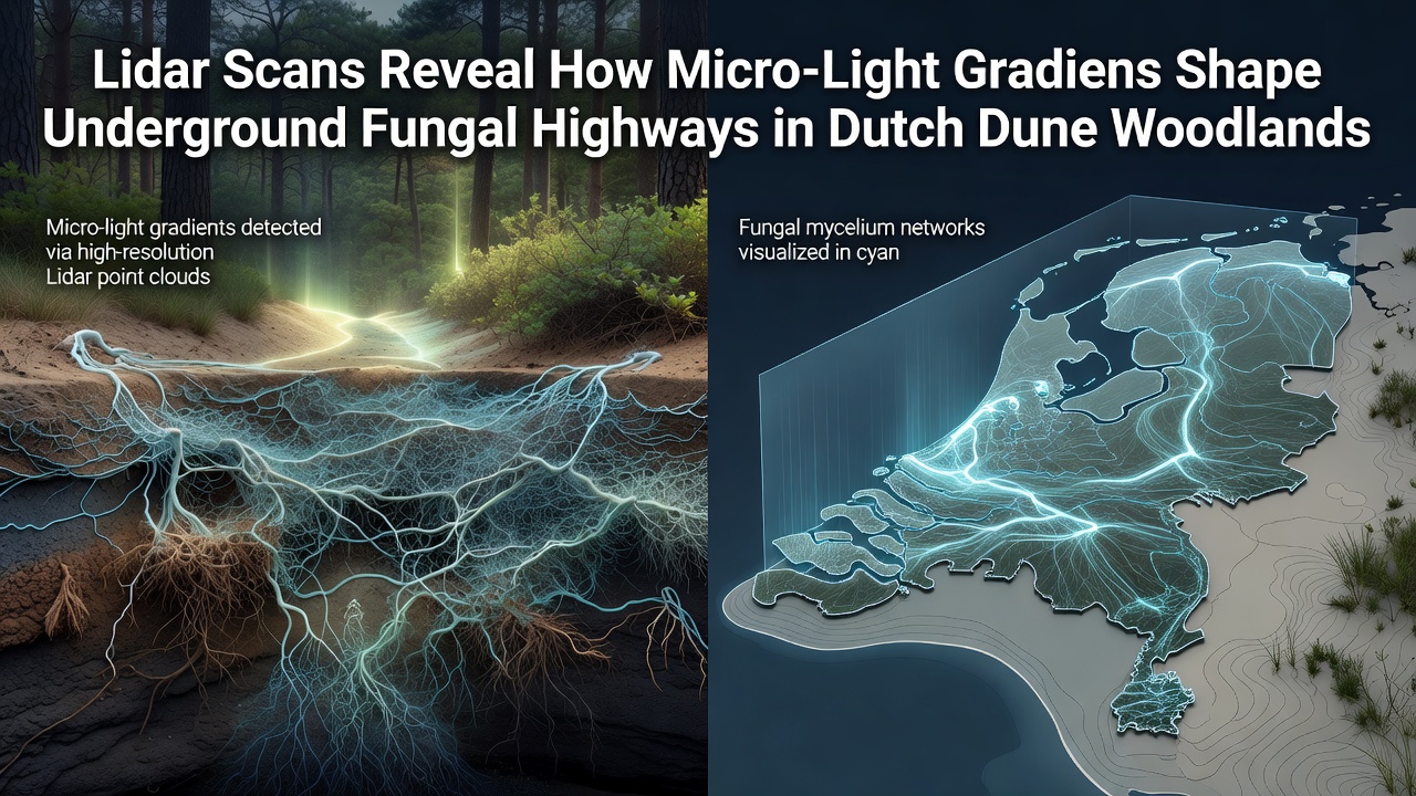
Researchers at institutions across the Netherlands have applied high-resolution LiDAR technology to map subtle variations in light penetration through coastal woodland canopies and connect those patterns directly to the structure of mycorrhizal networks below the soil surface. These micro-light gradients, often measured in increments of just a few percent across meters of forest floor, influence how trees allocate carbon to fungal partners and how those partners extend nutrient-transport pathways through sandy dune substrates. Data collected over multiple growing seasons shows that areas receiving slightly higher diffuse light support denser clusters of fungal hyphae, while shaded zones exhibit longer, more linear connections that function as highways for phosphorus and nitrogen movement between host plants.
LiDAR Mapping Techniques Applied to Dune Systems
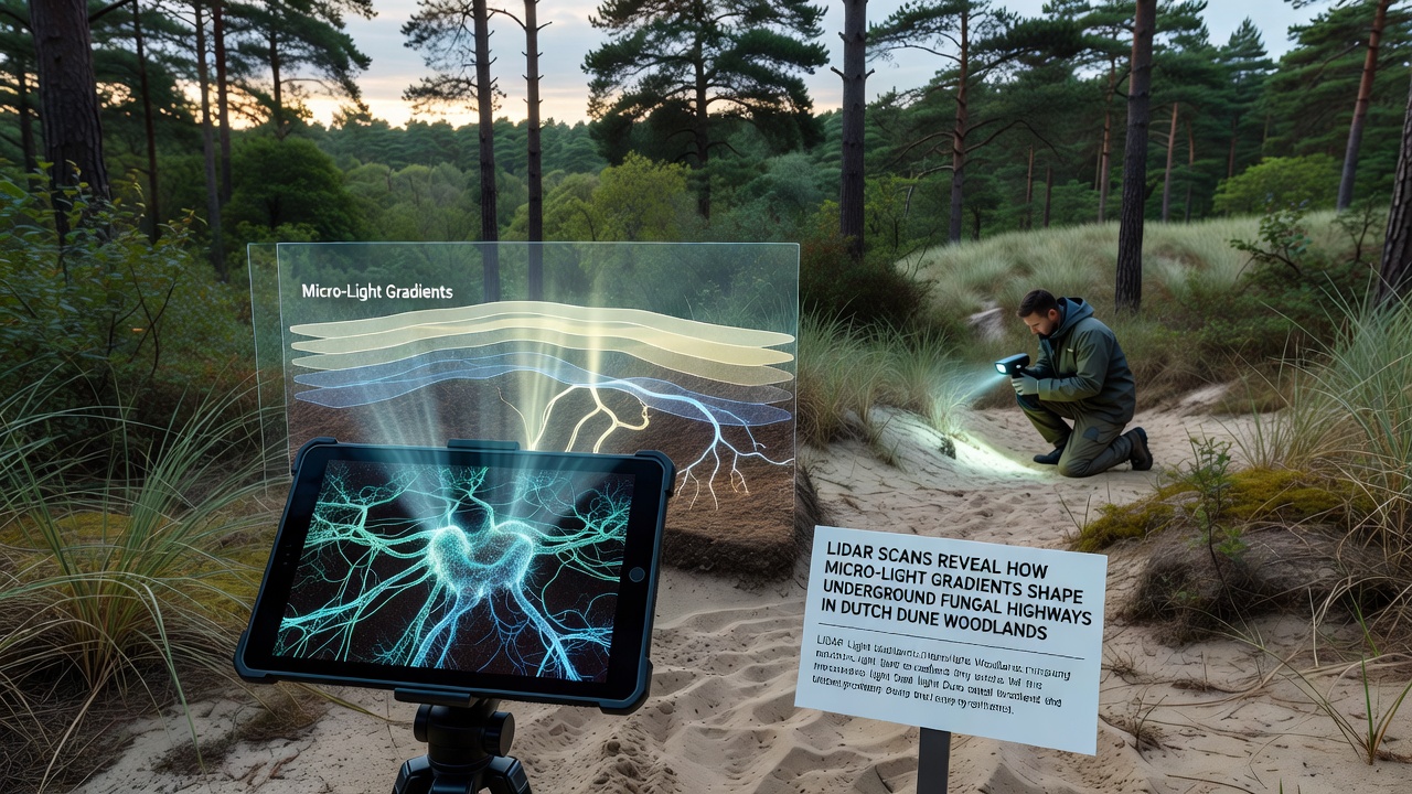
Teams mounted terrestrial and drone-based LiDAR units at sites near the North Sea coast during 2024 and 2025, generating point-cloud models that capture both canopy architecture and ground-level irradiance at sub-centimeter resolution. The resulting datasets allow calculation of light availability at the exact locations where soil cores were later extracted for fungal DNA analysis. Observers note that combining these layers produces three-dimensional maps in which fungal community composition aligns closely with predicted light exposure rather than with broader soil moisture or pH gradients alone.
October 2026 brought the release of an expanded dataset covering twelve additional dune woodland plots, enabling cross-validation of earlier correlations between light micro-gradients and fungal network topology. Analysts at the Netherlands Institute of Ecology processed the new scans and confirmed that fungal highway density increases by approximately eighteen percent for every additional two percent of diffuse light reaching the forest floor during peak growing months.
Interactions Between Light, Roots, and Mycorrhizal Fungi
Underground fungal networks depend on photosynthate supplied by tree roots, and even small differences in light availability alter the quantity and quality of carbon compounds exuded into the rhizosphere. In plots where LiDAR detected persistent light flecks, root tips supported higher colonization rates by ectomycorrhizal species known for rapid hyphal extension. Those same areas displayed shorter average distances between connected trees, suggesting that fungal highways concentrate where carbon supply remains relatively stable. Researchers extracted RNA from soil samples to verify that genes associated with nutrient transporter proteins showed elevated expression precisely under the brighter micro-sites identified by the scans.
Yet the relationship is not uniform across all fungal taxa. Arbuscular mycorrhizal species, which associate more commonly with understory shrubs in these woodlands, responded more strongly to seasonal shifts in light angle than to absolute intensity. When canopy gaps allowed brief periods of direct sunlight in early autumn, these fungi increased spore production while maintaining stable hyphal connections to neighboring trees. The LiDAR models helped quantify gap frequency and duration, providing a temporal dimension that static light sensors could not capture.
Regional Context and Management Implications
Dutch dune woodlands occupy narrow strips between shifting sands and agricultural polders, creating fragmented habitats where light regimes change rapidly with even modest canopy disturbance. Conservation agencies have begun incorporating LiDAR-derived light maps into restoration planning so that replanting decisions account for existing fungal network architecture. According to information published by the Wageningen Environmental Research group, such integration has reduced transplant mortality in pilot projects by aligning new seedlings with established fungal highways rather than assuming uniform soil conditions.
Further afield, similar LiDAR protocols are now under evaluation in coastal forests of British Columbia, where comparable sandy substrates and mixed conifer-hardwood stands present parallel challenges. Preliminary comparisons indicate that the relationship between micro-light gradients and fungal network density holds across continents, although the dominant fungal genera differ. This geographic consistency strengthens the case for using airborne LiDAR surveys as a non-invasive monitoring tool in protected dune systems worldwide.
Conclusion
LiDAR-derived measurements have established a measurable link between above-ground light micro-gradients and the spatial organization of underground fungal highways in Dutch dune woodlands. Continued refinement of these scanning methods, combined with expanded soil sampling campaigns, supplies land managers with actionable data for maintaining connectivity within mycorrhizal networks. The October 2026 dataset release marks one milestone in an ongoing effort to quantify how small-scale light variation sustains the hidden infrastructure that supports woodland resilience on dynamic coastal landscapes.